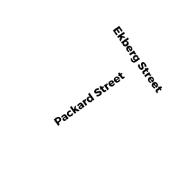
60 PACKARD ST
Owner Information
O'DONNELL KEVIN F &
60 PACKARD ST
AVON, MA 02322


Property Details
60 PACKARD ST is classified as a Single Family Residential (Ranch).
The primary structure on this property was built in 1956. There are 3,445ft2 of built area within this property. There is 1,610ft2 of residential/living space within this property. This property is listed as having 6 rooms.
60 PACKARD ST is valued at $327,300. The land is valued at $152,400 and the structures are valued at $164,700. There is an additional valuation of $10,200 on this property.
This property is in Zone RDA. Confirm with local Zoning Board authorities to ensure there are no overlays or other easements on this property.
60 PACKARD ST was last sold on Monday, May 6, 2013 for $1.
Assessment data from fiscal year 2021.
Flood Data
According to the FEMA National Flood Hazard Layer, this property does not appear to be in a flood zone. It may also be in an area not yet reviewed. Nonetheless, confirm this information prior to taking any action.
To view the flood hazards around this property, create a FEMA "Firmette" Map of the area around 60 PACKARD ST.
Broadband Internet Providers
| Provider | Type | Bandwidth (mbps) | |
|---|---|---|---|
| HughesNet | Satellite | 25 | 3 |
| VSAT Systems, LLC. | Satellite | 2 | 1 |
| GCI Communication Corp. | Satellite | 0 | 0 |
| Comcast | Cable | 1000 | 35 |
| Verizon New England Inc. | DSL | 5 | 0 |
| Viasat Inc | Satellite | 100 | 3 |
Broadband service provider data from December 2020.
Adjacent Properties
- 70 PACKARD ST
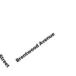
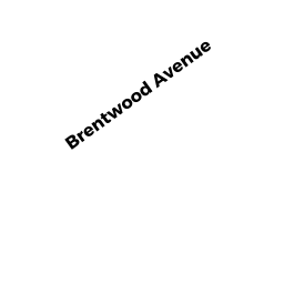
Single Family Residential owned by KRUSZKOWSKI STEVEN - 11 BRENTWOOD AVE
Single Family Residential owned by CURTO SETH V & - 13 BRENTWOOD AVE
Single Family Residential owned by ESTRELLA EDWARD - 15 BRENTWOOD AVE
Single Family Residential owned by RAVIX EMILE & - 50 PACKARD ST
Single Family Residential owned by SMART EDWARD